Tech Trout 2020
Problem
The environmental impacts of fish farming establishments need to be monitored to keep eutrophication at minimum. Currently the data is gathered by external parties and industry gets the results in the form of annual reports. This makes it hard to react to environmental changes when they are actually happening. There is not much data available since the monitoring results are always local and there are also problems in the quality of the data since the monitoring buoys require frequent maintenance. In addition, providing information to internal or external parties is currently slow since the annual reports are the only way to present the data.
Trout
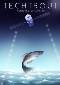
Our plan is to create a model in which we merge satellite images and point measurement results into one package to get the best of both worlds. On-site measurements offer the accuracy, while satellite images are able to monitor larger areas and can be used to predict changes. The model utilize machine learning. The results would be shown through an online dashboard, which would contain all the important information with visualisations such as exportable maps and graphs.

