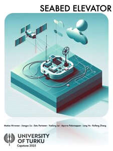
3D Shallow Water Vegetation Mapping 2025
Introduction
Monitoring the vegetation of The Baltic Sea is an important step to see the environmental changes in the biodiversity. Traditional picture taking methods are time-consuming, costly and incosistent. Our task was to develope a system that could control the depth of a camera rig based on the geological location of the vessel that floats on the water.
Goal
Develope and integrate an embedded system using Raspberry Pi that compares the GNSS location of the vessel to a predetermined depth data and then controls the depth of a camera rig accordingly. The system needed a manual mode as well in the case that something goes wrong.

