Large-scale 3D Mapping 2022
About our project
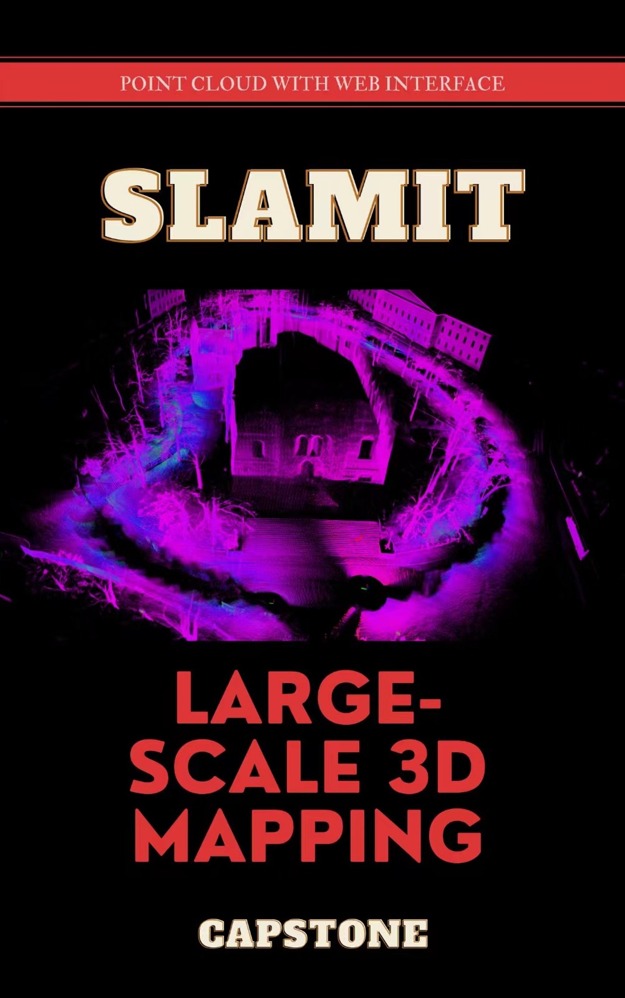
Our project is about to use lidar and deep camera sensors to collect the point cloud data from outdoor environment like the cathedral and indoor environment like the inner storeys of the ICT building and to convert them into visual maps.
Our goal was to map the University of Turku. However, we were unable to collect data of environment with that large scale. We adjusted our target to the cathedral and the ICT building. We used different kinds of sensors to fit different environment to make the effects best. We made a web interface to visulize the maps from the point cloud data.
Results
We built our mobile platform of sensors using a small cart. We recorded the data in the format of rosbag for about 200 GB with lidars of Livox, Ouster, etc. and the RealSense deep camera. We used Fast-Livox and SSL-SLAM as the algorithms to convert the rosbag data to realistic maps. At results, we did the 3D mapping of the Cathedral of Turku, the 1st, the 2nd and the 6th floor of the ICT building. And we built a web interface for users to upload their own pointcloud data to see the 3D maps and we also offered some examples of the maps we did.
Improvements
-
Sometimes the display of the plane from the maps may not be flat because of some rotation during the sampling procedure.
-
The planes and edges of maps can be drawn to make the maps more realistic, and for future uses like VR application, this can provide more immersive experience for users.