A Small-scale 3D Map with Full View 2020
About our project
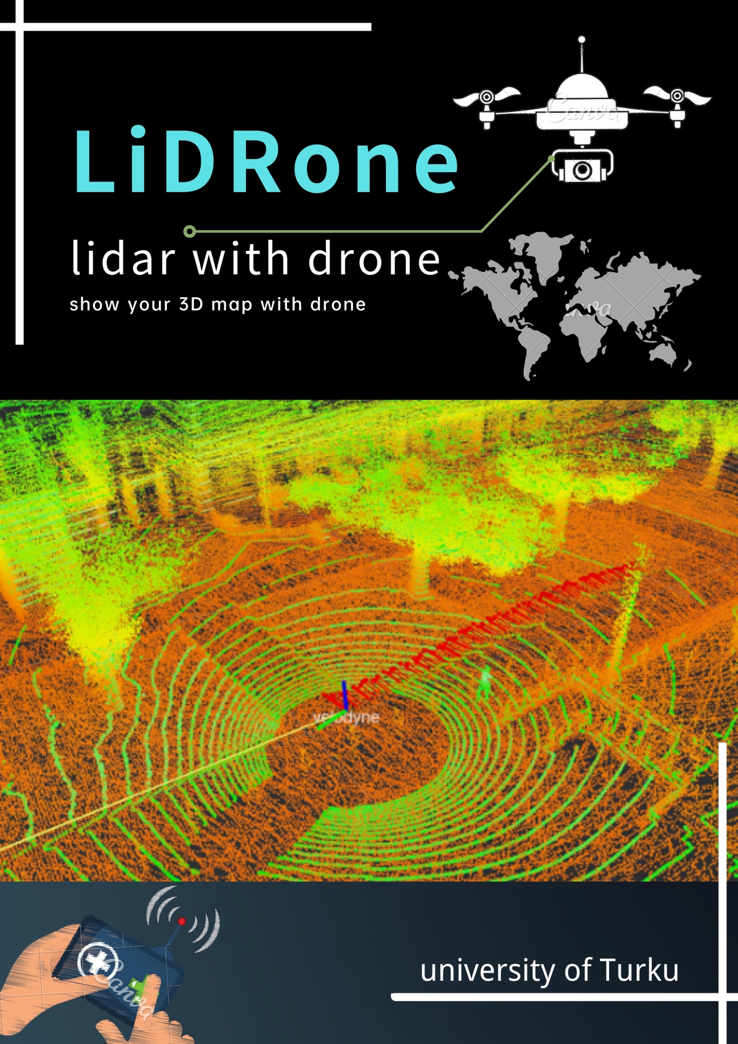
3D LiDAR are getting more popularity in recent years thanks to the development of autonomous vehicles. In fact, it can also be used to create 3D maps that have which can be used in domains like navigation, auto-pilot, urban planning and so on.
The target of our project is to create a small-scale detailed 3D map (of complicated terrain) that can be viewed from all angles. Based on the data recorded by a 3D LiDAR, suitable SLAM algorithm is selected and used. Tweaks on the configurations and pre-processing of the data are also carried out during this procedure.
In our original plan, we should get the LiDAR onto a drone and combine both ground data and airborne data. Unfortunately, due to the epidemic, we were not able to get on hands the drone or record any data from the air. Instead, we managed to combine several small-scale maps into a large one which also needs similar efforts.
Results
We recorded about 40G of rosbags of the UTU campus using the provided 3D LiDAR (mostly around the Agora building, the Quantum building and the Feeniks building). Based on these data, we created a detailed 3D map using LeGO-LOAM-BOR algorithm. With the assistance of MATLAB, we manually align and combine the adjacent maps. Thus, a large map from the Agora building to the Church is generated. The generated 3D map can be viewed from all angle in MATLAB or other PCL viewers.
LeGO-LOAM-BOR is the core algorithm for our project. The reason it stands out from several options is that it can cope with uneven surface, especially when we have height difference on the ground.
Future developments
-
We should try to get the LiDAR on the drone to obtain airborne data.
-
Further investigation should be done to have better configuration of LeGO-LOAM-BOR
-
Data filter should also be improved